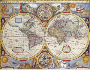
Old maps of Britain and Europe: https://www.visionofbritain.org.uk/maps/
A Vision of Britain through Time brings together historical surveys of Britain to create a record of how the country and its localities have changed. It was created by Humphrey Southall and the Great Britain Historical GIS Project (“GIS” stands for “Geographical Information System”). It is based in the Department of Geography of the University of Portsmouth.
Image: pixabay.com/lance87
